Referencia10130
Referencia no disponible
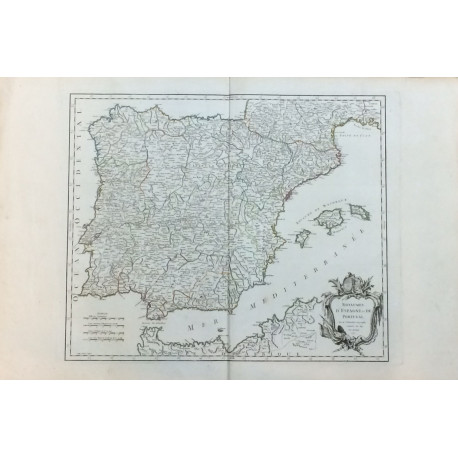
ROBERT DE VAUGONDY.
Royaumes d'Esgpane et de Portugal - MAPA DE LOS REINOS DE ESPAÑA Y PORTUGAL.
AÑO 1750.
Obra: THE ATLAS UNIVERSEL. Medidas: 57 x 86 cm. Plancha: 50 x 62 cm. Pliegue central.
| Editorial | AÑO 1750. |
| Autor | ROBERT DE VAUGONDY. |


